West Coast Trail Hiking Guide for 2023
JUMP TO: PROS & CONS / ITINERARIES / TRAIL DESCRIPTION / WHEN TO GO / HOW TO GET THERE / CAMPSITES / NAVIGATION / WATER / WILDLIFE / TRAILHEAD SERVICES / WHAT TO PACK
Author: Steve Edgerton / Photos: Allison Edgerton
The West Coast Trail is one of Canada’s most iconic backpacking trips. It traverses 47 mi (75 km) of wild, rugged, and roadless terrain along the southwest coast of Vancouver Island between the towns of Port Renfrew and Bamfield.
The trail passes through the territory of the Huu-ay-aht, Ditidaht, and Pacheedaht First Nations, who have long used this coast as a travel corridor. In the 1800s, following a series of fatal shipwrecks, the Canadian Government created the Dominion Life Saving Trail, outfitted with life-saving stations and lighthouses. Technology eventually made the trail obsolete in the mid-20th century, and in the 1970s it was restored and upgraded into a premier backpacking route.
Famous for its endless ladders, ruthless trails through old growth forest, abundant wildlife, and remote, beautiful beaches, the WCT is an adventure like no other, and the best way to experience the Pacific Northwest at its wildest.
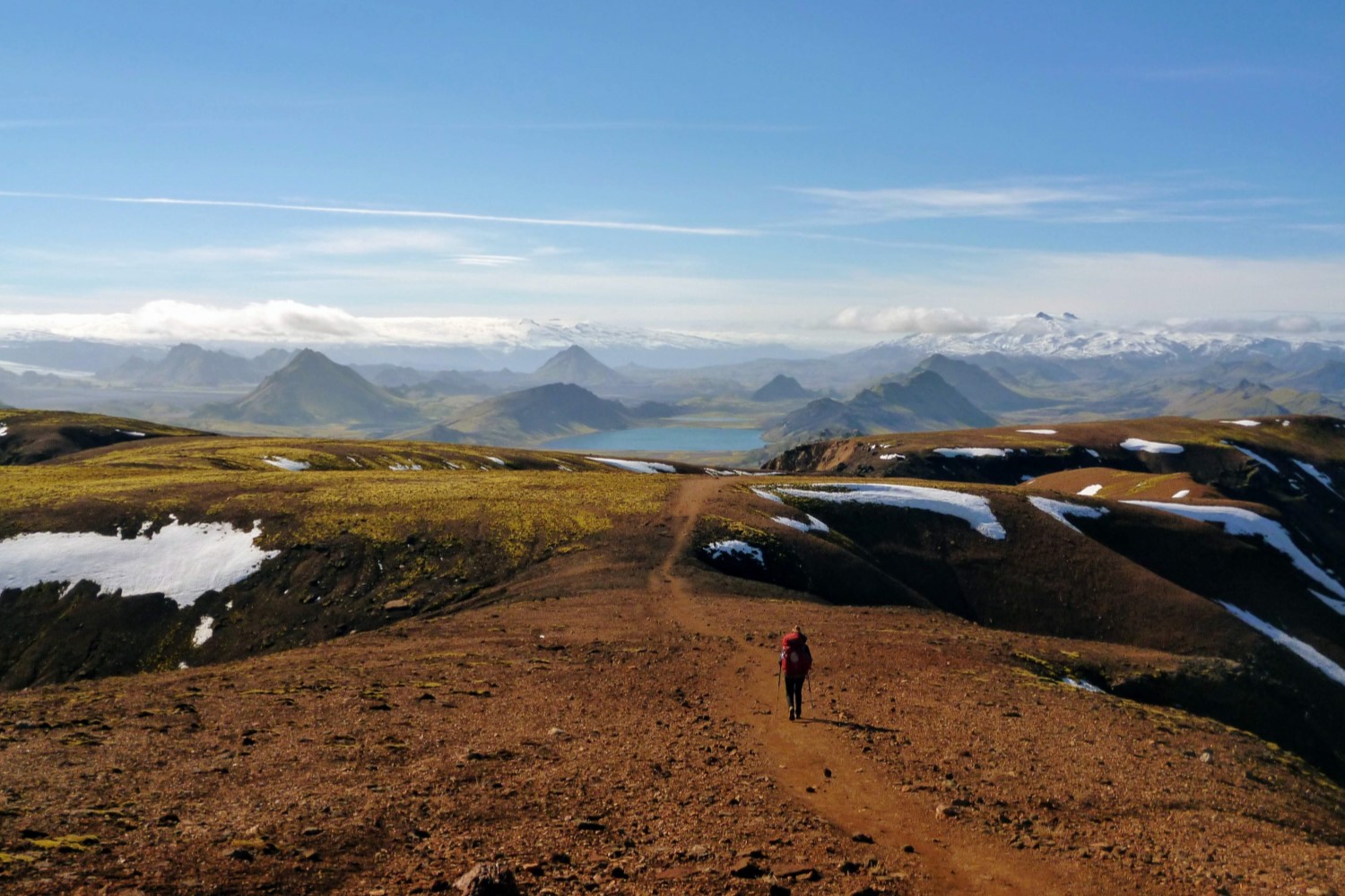
Coastal hiking at its finest
PROS
Stunning scenery: from ocean vistas to lush old growth forests
Rich with wildlife, including eagles, black bears, sea lions, and whales
Camping every night on pristine Pacific Ocean beaches
CONS
Permits are expensive and challenging to get
Trail infrastructure (bridges, ladders, boardwalks) in need of repair
Rain and endlessly muddy trails are inevitable
Hiking among ancient trees on the WCT
ITINERARIES
The WCT is a point-to-point hike and can be completed in either direction. An equal number of permits are granted each day for the Gordon River trailhead (northbound) and Pachena Bay trailhead (southbound).
Both directions are excellent, but the southern end of the trail features the most difficult hiking, with countless ladders, derelict boardwalks, and deep mud. Starting from Gordon River gets the hardest hiking over within the first two or three days. Coming from Pachena Bay means saving the hardest for last. We started from Gordon River and were glad we did, as was every other northbound hiker we talked to.
A third option is to start at the midway point, catching a boat shuttle from Nitinaht Village into Nitinaht Narrows to hike either the southern or northern half of the trail. This is a great choice for those not yet ready for 7+ days and 75 km of rugged coastal terrain. It is also far easier to secure permits.
For the full WCT, most hikers take 6 nights and 7 days. But with 13 official campgrounds along the trail, it is easy to customize your itinerary to spend anywhere from 2 to 12 days on the trail.
THE WEST COAST TRAIL
LENGTH: 47 mi / 75 km
DURATION: 6-8 days
TYPE: Point-to-Point
START: Gordon River Trailhead
FINISH: Pachena Bay Trailhead
BEST TIME: Late-June to late-September
Starting the WCT from the south begins with a short boat ride across Gordon River. Tickets for the boat are included when purchasing your WCT permit from Parks Canada.
The trail wastes no time setting expectations—it begins with a 40 ft climb up a ladder off the beach and into dense forest. Many more ladders follow. This initial section is among the hardest of the entire WCT. Most groups stop at Thrasher Cove for the first night, after only 4 mi (6 km) of hiking.
From Thrasher Cove you can backtrack to continue the forest route, or if the tides are low, you can proceed along the coastal route. This section of coast, with surge channels, tide pools, and slick red rock is otherworldly. Timing your day to hit Owen Point when it is passable at low tide is more than worth it. If waiting for low tide is not possible, you must get back on the forest trail for another challenging day.

The alien ocean landscapes near Owen Point
The coastal trail converges with the forest trail 1.5 mi (2 km) past Owen Point. The next 6 mi (10 km) feature more ladders than you can count and more elevation gain than any other section. Break it up by stopping for the night at Camper Bay or Cullite Cove.
The trail mercifully exits the forest near Walbran Creek. Your effort is rewarded by 10 mi (16 km) of easy hiking across pristine, sandy beaches. Bald eagles, sandpipers, great blue herons, and brown pelicans fill the forest and rocky tidal outcrops. Just offshore, we spotted two grey whales and packs of jubilant sea otters. The miles slide effortlessly by here.
Conclude one of the finest hiking days of your life by camping at Carmanah Creek or push through one short overland section to reach the more pleasant Cribs Creek.

Beach hiking near Carmanah Creek
Beyond Cribs Creek there is another overland or coastal option. The coastal route here remains passable at all but the highest tides. Both routes once again converge about 3 mi (5 km) from Nitinaht Narrows. The Narrows are the mid-trail access point (by boat only), and home to the legendary Crab Shack. Stop for a beer and a plate of fresh-caught crab, halibut, or lingcod before catching the ferry across the Nitinaht River.
The trail flits between beach and forest before reaching Tsusiat Falls—the most popular WCT campground. If weather permits, go for a much-needed swim and rinse in the swimming hole beneath the falls.

Camping on the beach near Tsusiat Falls
The trail is in better shape past Tsusiat Falls. It only takes a half day of hiking to reach Darling River or Michigan Creek, the final campgrounds on the trail. The last 7 mi (12 km) are mostly dry and well-maintained, making for an effortless final morning of hiking after days of trudging through mud.
Check in at the Pachena Bay Parks Canada Office to confirm you have safely completed the trail, then head into Bamfield for the most well-deserved burger of your life.
The ladders never end
WHEN TO GO
The West Coast Trail is open from May 1-Sept 30 every year. Whenever you go, it will be wet. But in May and June, it will be nothing but wet. Plan for rain every day in the spring, and for the trail to be one endless mud pit.
From mid-July into September, the trail is drier and the weather more likely to cooperate. The short window of good weather on the coast makes permits incredibly hard to get—this is when everyone wants to go. To have a chance, get on the Parks Canada website the second permits open every January, or keep an eye on out for cancellations and hope to get lucky.
HOW TO GET THERE
If you can score a permit, arranging transportation is the next biggest logistical challenge of the WCT. Most visitors will arrive on Vancouver Island from Victoria International Airport or the Swartz Bay Ferry Terminal, both just north of the city of Victoria. From there, you will need to plan how to get to either Gordon River or Pachena Bay and arrange transportation for when you finish.
The West Coast Trail Express offers the best transportation services between the trailheads and back to Victoria and Nanaimo. We left our car at Gordon River and caught the shuttle back after finishing at Pachena Bay. The drive between Gordon River and Pachena Bay takes about 3.5 hours. If you have a car, try to arrange leaving it at the trailhead you will be finishing at, then catch the shuttle to the other end. Finishing a gruelling 7 day hike with a long bus ride on rough forestry roads was not exactly a fun time.
Check out the shuttle schedule and book well in advance. It often gets fully booked, especially in July and August.
CAMPSITES
There are 13 designated campsites along the WCT. You do not need to reserve individual campsites. The WCT permit allows you to stay at any campsite on any given night, as long as you start and end the trail on the dates listed on your permit.
There are also two opportunities for paid accommodations on the trail: Ditidaht Comfort Camping at Tsuquadra Point (closed for 2022) and cabins at Nitinaht Narrows.
All campsites are on the coast. There are no designated pads—pick a spot along the beach (well above the high tide line!) or sheltered in the forest. All sites have food lockers, bear hangs, or both. At the busy sites, both were at capacity every night. If you show up well past dinner time, be prepared to set up your own bear hang.
A 7 day itinerary is the overwhelming norm on the WCT, and most hikers stay at the same 6 campsites: Thrasher Cove, Camper Bay, Walbran Creek, Cribs Creek, Tsusiat Falls, and Michigan Creek. If you’re hoping for a quieter WCT experience, try the off-the-beaten-path sites. They are all beautiful, so whatever you do, it is hard to go wrong.
From south to north, the campsites—and distances between them—are:
Gordon River Trailhead to Thrasher Cove: 6 km
Thrasher Cove to Camper Bay: 8 km
Camper Bay to Cullite Cove: 4 km
Cullite Cove to Walbran Creek: 5 km
Walbran Creek to Bonilla Point: 5 km
Bonilla Point to Carmanah Creek: 2 km
Carmanah Creek to Cribs Creek: 4.5 km
Cribs Creek to Tsusiat Falls: 16.5 km
Tsusiat Falls to Klanawa River: 2 km
Klanawa River to Tsocowis Creek: 6 km
Tsocowis Creek to Orange Juice Creek: 2 km
Orange Juice Creek to Darling River: 1 km
Darling River to Michigan Creek: 2 km
Michigan Creek to Pachena Bay Trailhead: 12 km
The West Coast Trail is within Pacific Rim National Park Reserve. You need to use the Parks Canada Online Reservation Service to secure permits for your desired dates and trailhead.
Reservations open in the third week of January. Check the Parks Canada WCT page for the announcement of the exact 2023 date. You should be ready with your desired itinerary the second permits open to successfully book a trip during the busy summer season.
Camping with a view
NAVIGATION
MAPS: When checking in with Parks Canada at Pachena Bay, Nitinaht Village, or Gordon River, you will receive a topographic map that includes a tide chart for the upcoming week. This is essential for assessing your route and staying safe on the coast. Take a picture of the tide chart to have on your phone as a backup and for quick reference.
WATER
WATER TREATMENT: Good water is plentiful in spring and early summer, but some creeks run dry later into the year. Water can be especially scarce in the 6 mi (10km) section between Tsuquadra Point and Cribs Creek. Have at least 3 L of total water capacity per person.
We used the Sawyer Squeeze filter to treat our water and it performed well. The Katadyn BeFree filter is another lightweight option that we like. Non-filter treatment options, like iodine tablets or the SteriPEN Adventurer Opti are good as backups, but the slow-moving, sediment-laden creek water will make you glad to have a proper filter.
Breakfast on the beach
WILDLIFE
BEAR SAFETY: Black bears frequent the forests surrounding the WCT. As a high-traffic trail, some bears become habituated to humans, which can be dangerous. During our trip, the Darling River campground was closed due to a black bear in the area that had associated the campground with food.
To avoid an unpleasant bear encounter, make noise on the trail and carry bear spray. At campgrounds, cook well away from your tent, and keep all scented items in the bear lockers/hangs overnight.
OTHER WILDLIFE: The WCT is teeming with unique wildlife. We saw grey whales, sea lions, sea otters, fishers, black bears, and more bird species than we could count.
TRAILHEAD SERVICES
Gordon River Trailhead
The Parks Canada office at Gordon River is attached to the Pacheedaht Campground General Store, where you can find last-minute snacks and toiletries, but not much else. You can leave your car (for a fee) in the Pacheedaht Campground parking lot for the duration of your hike. Nearby Port Renfrew has a few options for groceries and accommodation.
Pachena Bay Trailhead
The Pachena Bay trailhead features the Parks Canada office, and a front country campground, but no other services. Bamfield, 4 mi (7 km) miles away, has a grocery store and restaurants. There are accommodation options here if you are looking for a comfortable and convenient place to stay the night before or after your WCT hike.
Victoria
You will probably find yourself in Victoria during your time on Vancouver Island. The provincial capital has nearby ferry services to mainland BC and to Washington. The airport is just 20 minutes north of downtown.
If you are flying in to do the WCT and will not have a car, you can book a return trip on the West Coast Trail Express from its terminal in downtown Victoria. There is a MEC just blocks away from the terminal, perfect for grabbing any last-minute pieces of gear.
WHAT TO PACK
The WCT is always challenging and often treacherous—the coast guard rescues someone off the trail nearly every day in the summer. You need to be in good hiking shape, and you need to have the right gear for wet, unpredictable weather and trail conditions. Here are a few items that deserve special consideration:
SATELLITE COMMUNICATOR: The dodgy boardwalks, slick ocean rocks, and slippery ladder rungs easily turn little missteps into big problems. The amount of broken or sprained ankles per hiker is probably higher on the WCT than any other trail in the world.
Having a satellite communicator will help you avoid worst-case-scenarios for yourself, and for other hikers who run into trouble. We like the Garmin InReach Mini. You can also use it for accurate weather updates, which helped us plan our hiking days to avoid more than one thunderstorm.
EXTRA SOCKS: Here is our official WCT hot take: most trail guides will tell you that gaiters are a requirement, but they are wrong. We did not bring gaiters on our hike, and we didn’t once miss them. Your shoes, feet, and shins are getting muddy, whatever you do.
Gaiters may be worth it in the wet and messy spring season, but rinsing off in a creek is better than strapping two mud-soaked, suffocating sleeves of Gore-Tex around your legs all day. Cut excess weight and ditch the gaiters. To keep your feet dry, bring an extra pair of good merino wool hiking socks instead.
CASH: The Crab Shack is cash only. Passing up a mid-hike plate of potatoes and fresh-caught king crab because you didn’t plan ahead will feel like the biggest mistake of your life. Bring $50 CAD for lunch, a beer, and a chocolate bar or two.
RAIN GEAR: It is going to rain on your WCT hike. Maybe just one day, maybe for the whole trip. But it is going to happen. Take the money you were going to spend on gaiters that you would never use again and invest in high quality rain gear.
If you already have a good jacket and pants, wash and re-waterproof them with a technical detergent shortly before your trip. Dry bags for your clothes and sleeping gear and a waterproof pack cover are also worthwhile.
TARP: If the forecast is looking unfavorable, pack a small ultralight tarp. Staying dry while cooking, eating, and setting up camp will be a huge morale boost when dealing with day after day of rain.
MORE INFORMATION
If you loved this destination guide for the West Coast Trail, then you'll likely love reading about our other inspiring hiking destinations:
Or perhaps traversing some of our other hiking and backpacking content:
Or check out our entire list of Gear Reviews, Knowledge Base Articles, or Destination Guides for more hiking, backpacking, and outdoors related content.